From
Aug. 5th to Aug. 18th, we carried out a campaign GPS
survey in Qinghai province. Main purpose of this field trip is to monitor the crustal
deformation in this region, collecting data for further research on properties
of active crustal faults, lithospheric rheological properties, etc.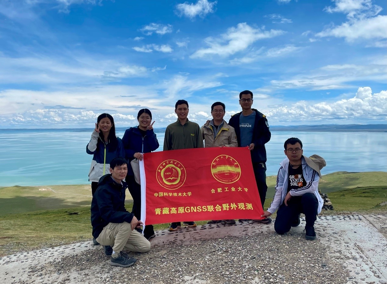
Members participating this field trip (from left to right): Siyuan Yang, Chengfang Sang, Zhihao Wang, Feifan Ye, Shuiping Li, Jian Zhang and Kai Wang. The Ngoring Lake is behind us.
This is a cooperative
GPS survey between the University of Science and Technology of China (6 PhD and
MSc students from Dr. Hu’s research team) and the Hefei University of Technology
(Prof. Shuiping Li). We planned to survey more than 40 stations, but because of
the surge of the COVID-19 positive cases in Qinghai, we had to cancel the rest
of the itinerary. We drove two cars and successfully surveyed 21 GPS stations,
including 12 stations installed by Prof. Faqi Diao at the China University of
Geoscience, 3 stations from the National Bureau of Surveying and Mapping, and 6
stations newly installed by us.
We have visited station HMAH that is a continuously-operating
geodesy station using the Beidou Navigation Satellite System.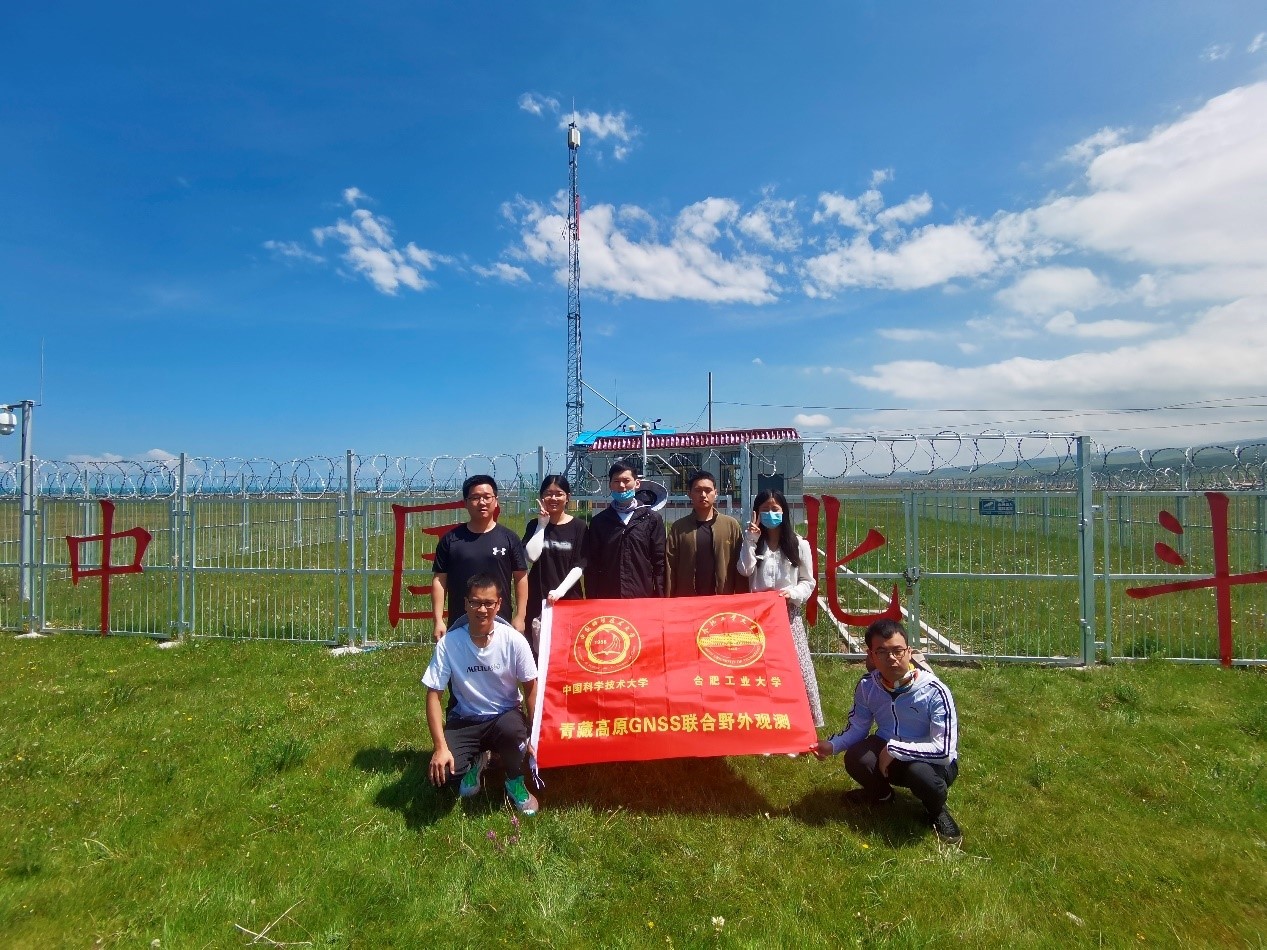
Members (from left to right): Jian Zhang, Shuiping Li, Zhihao Wang, Chengfang Sang, Feifan ye, Siyuan Yang and Kai Wang. The building behind is station HMAH (Hei Ma He) using the Beidou Navigation Satellite Syste
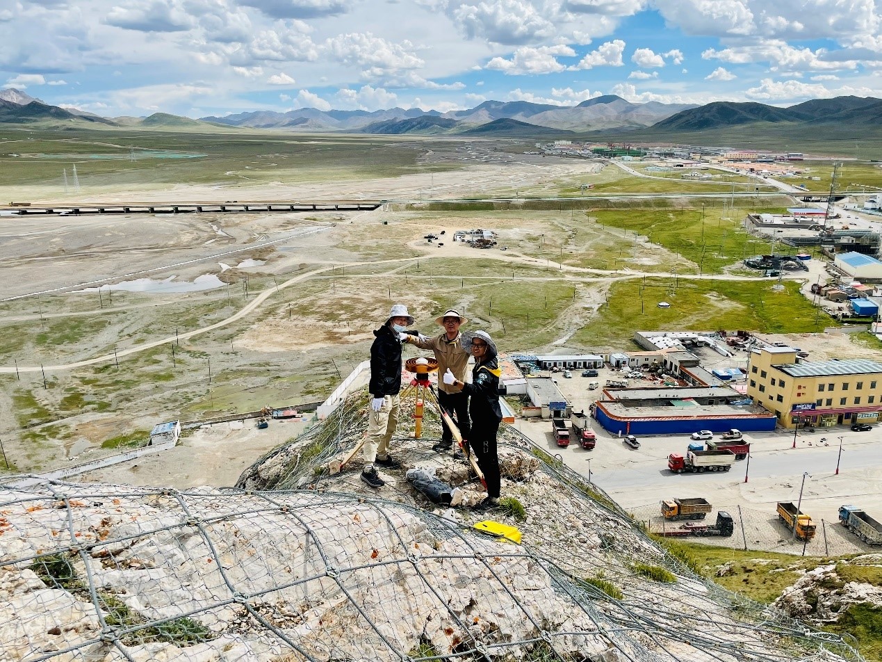
Fieldwork at IG06. From left to right: Chengfang Sang, Shuiping Li, and Jian Zhang.
We tried to setup
a new survey profile across the Kunlun faults. Surveying northern part of the
profile was relatively easy. For the southern part, it was difficult to find reliable
bedrocks in the Yellow River Source Park of Three-River-Source National Park
located. Because of the limited time, we didn’t search further for installation
locations, that means, we only had half of the planned profile surveyed.
It was
unfortunate that we had to cancel the rest field trip because of the COVID-19.
Maybe that leaves us a good excuse to go back soon! Every one of us enjoyed the
beautiful scenery in the northeastern Tibetan Plateau!
Draft of this news prepared by Chengfang Sang on Aug. 31, 2022.
P.S.
The following are some pictures taken during the GPS survey field trip.
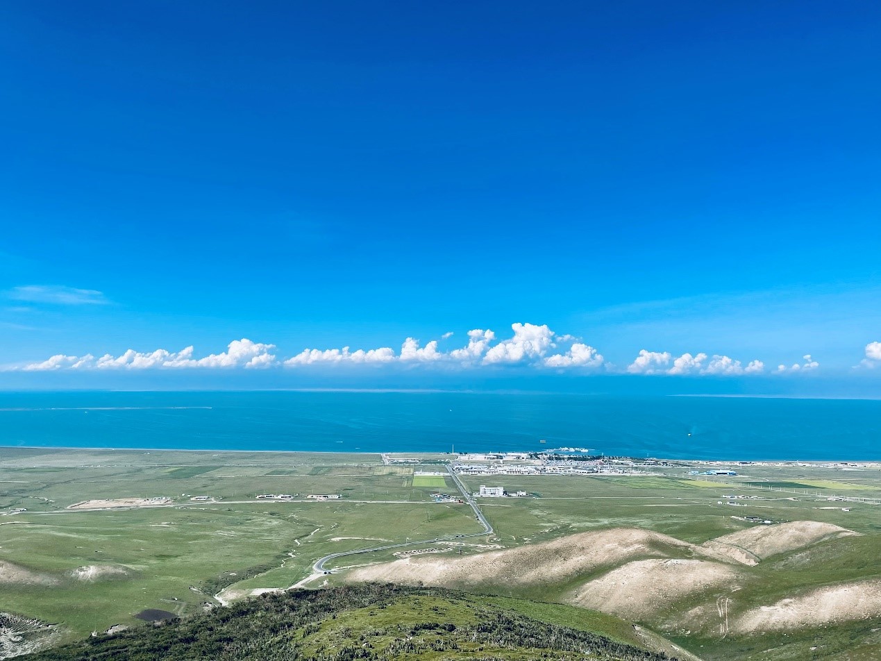
The beautiful view of the Qinghai Lake.
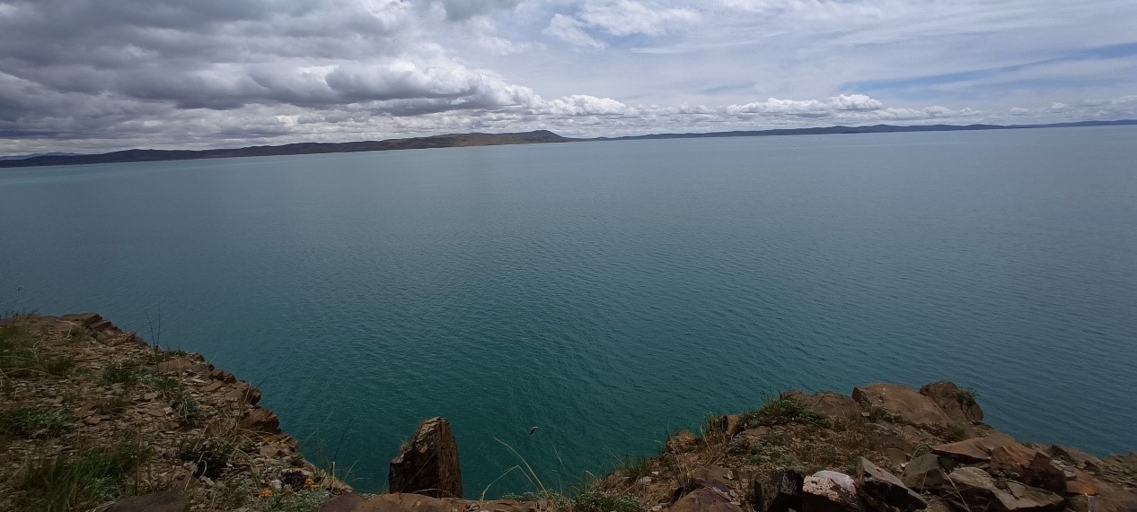
The beautiful Ku Hai (the romanized Standard Chinese pinyin pronunciation of the name 苦海, which means the sea of bitterness).
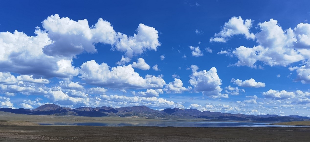
The beautiful Ngoring Lake.
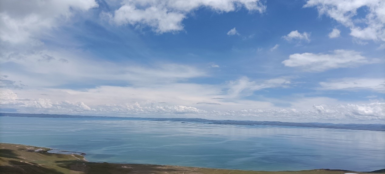
The beautiful Ngoring Lake.
Copyright © Geodynamics Research Center,USTC/DSEL. All Rights Reserved.