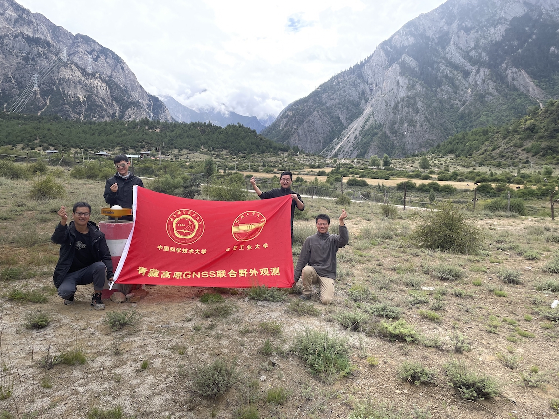
From Jul. 28th – Aug. 21st 2021, we carried out a campaign GPS survey in the eastern and southern Tibetan plateau. We took measurements from 40 existing stations and 13 new stations that we installed. It was the first time for most of us who ever visited such high-altitude region. Although the first a couple of days was not easy, the trip went successfully. We had a very good time and enjoyed the very beautiful landscapes in Tibet.
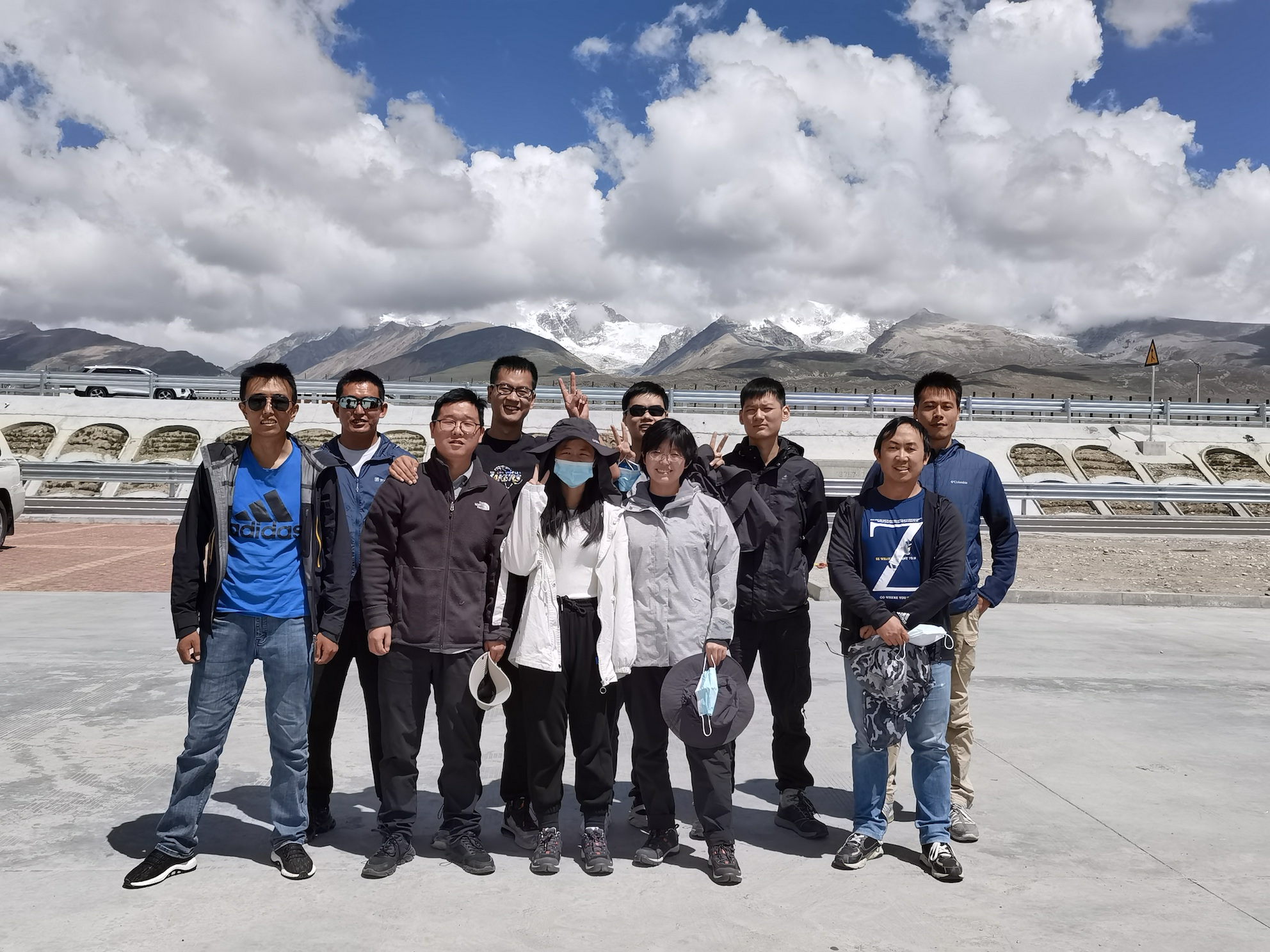
This photo was taken on the way from Lhasa to Naqu on Aug. 29. The beautiful lake far behind us is Namtso (纳木错) lake. 错means lake, and 纳木means celestial/heavenly. It’s one of the most sacred places in Tibet. In the photo, from left to right (clock-wise): Suo Lang (one of the drivers), Yan Hu, Shuiping Li, Siyuan Yang, Yiqing Liu, Xin Cui, Chengfang Sang, Jian Zhang, and Yunguo Chen.
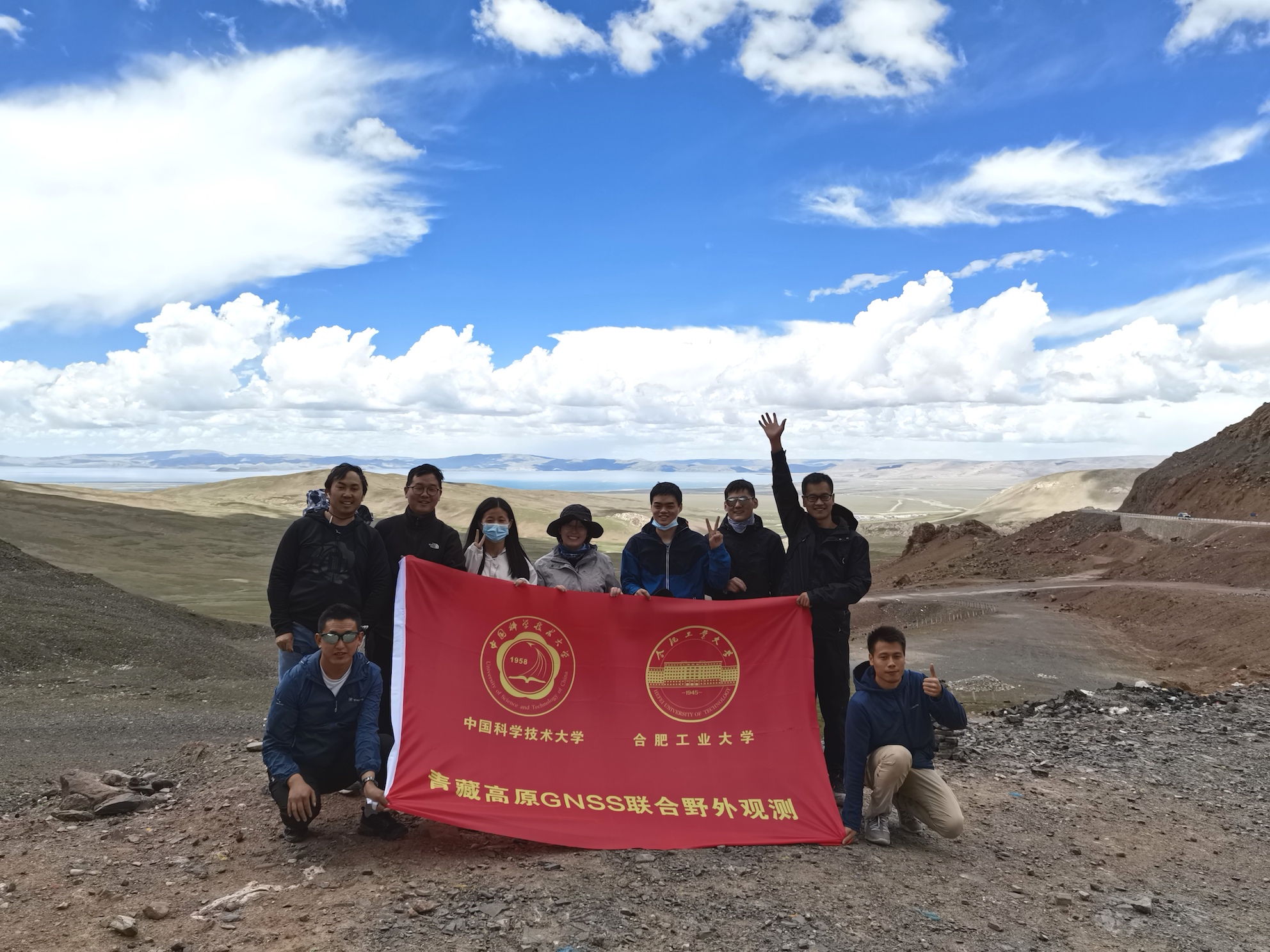
In the photo above, the snow mountain behind us is Nyenchen Tanglha (念青唐古拉山). From left to right: Chi Ren, Suo Lang, Shuiping Li, Jian Zhang, Siyuan Yang, Xin Cui, Yiqing Liu, Chengfang Sang, Yan Hu, Yunguo Chen.
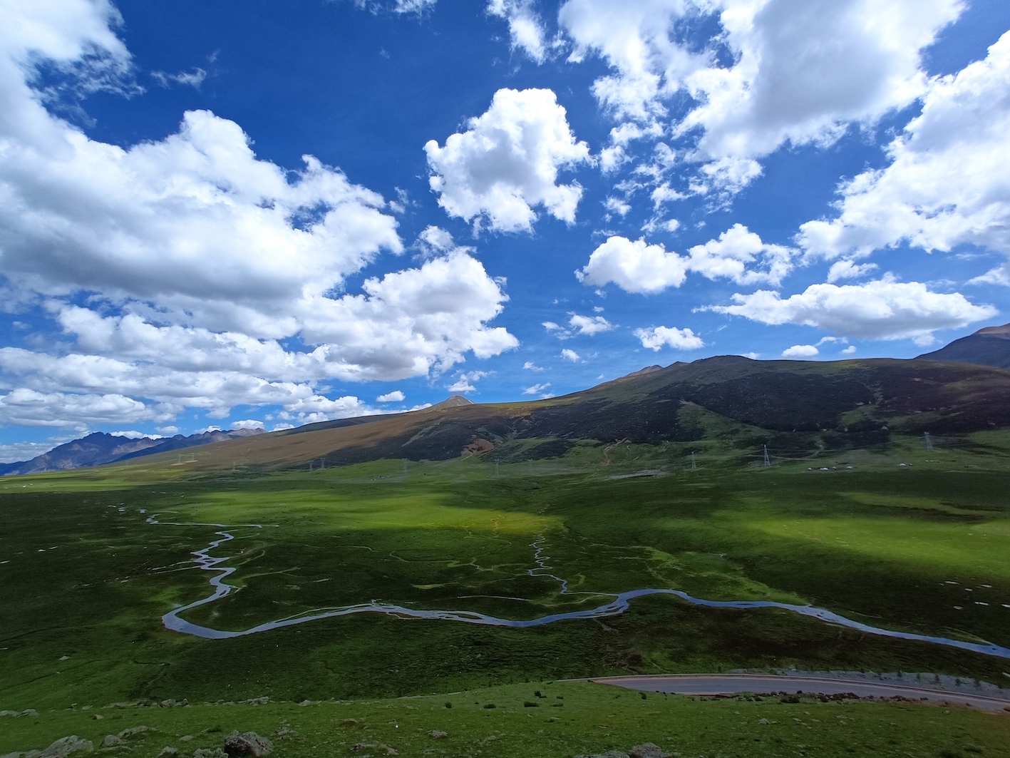
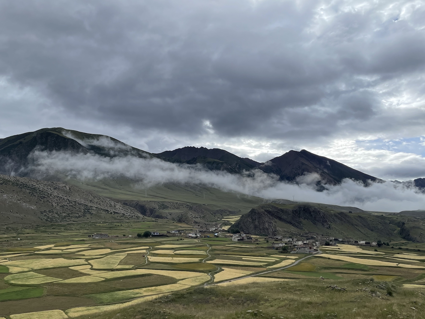
The following are a few landscape photos.
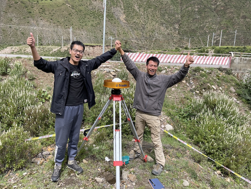
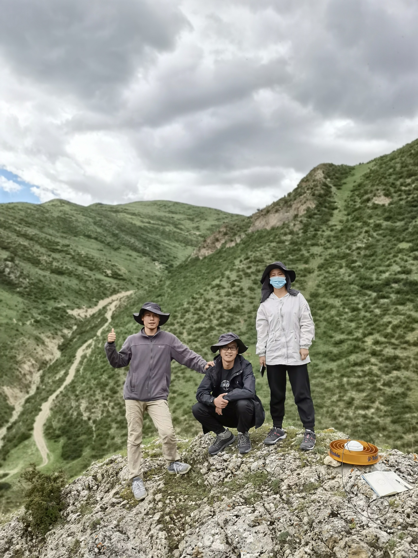
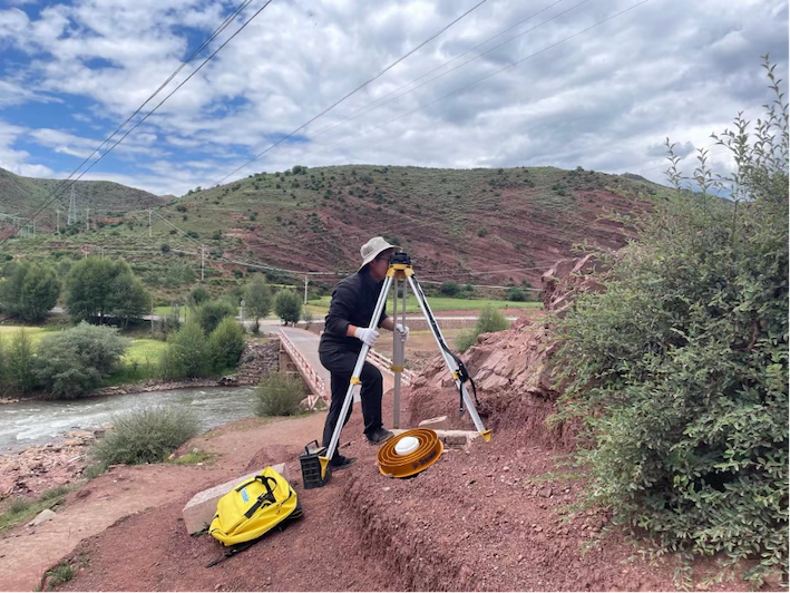
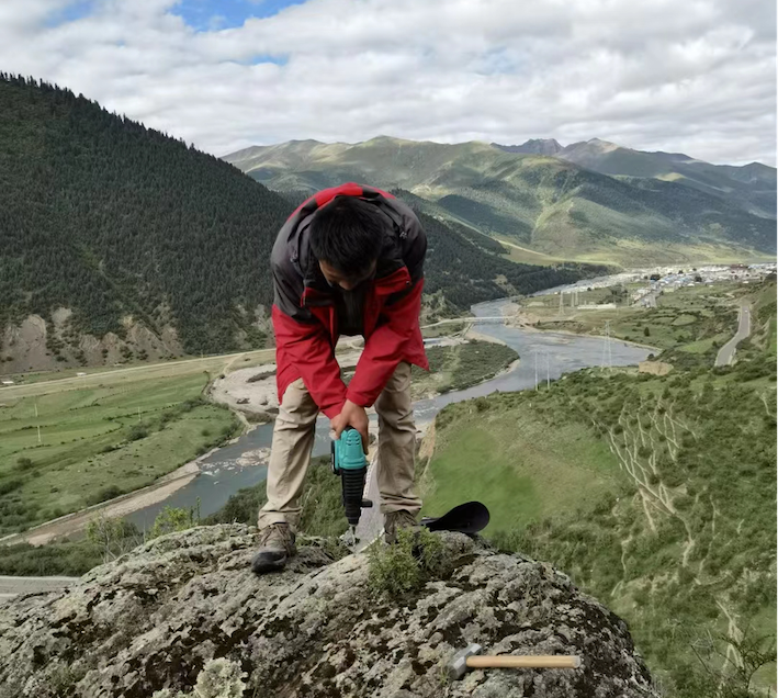
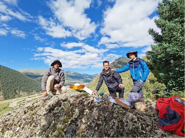
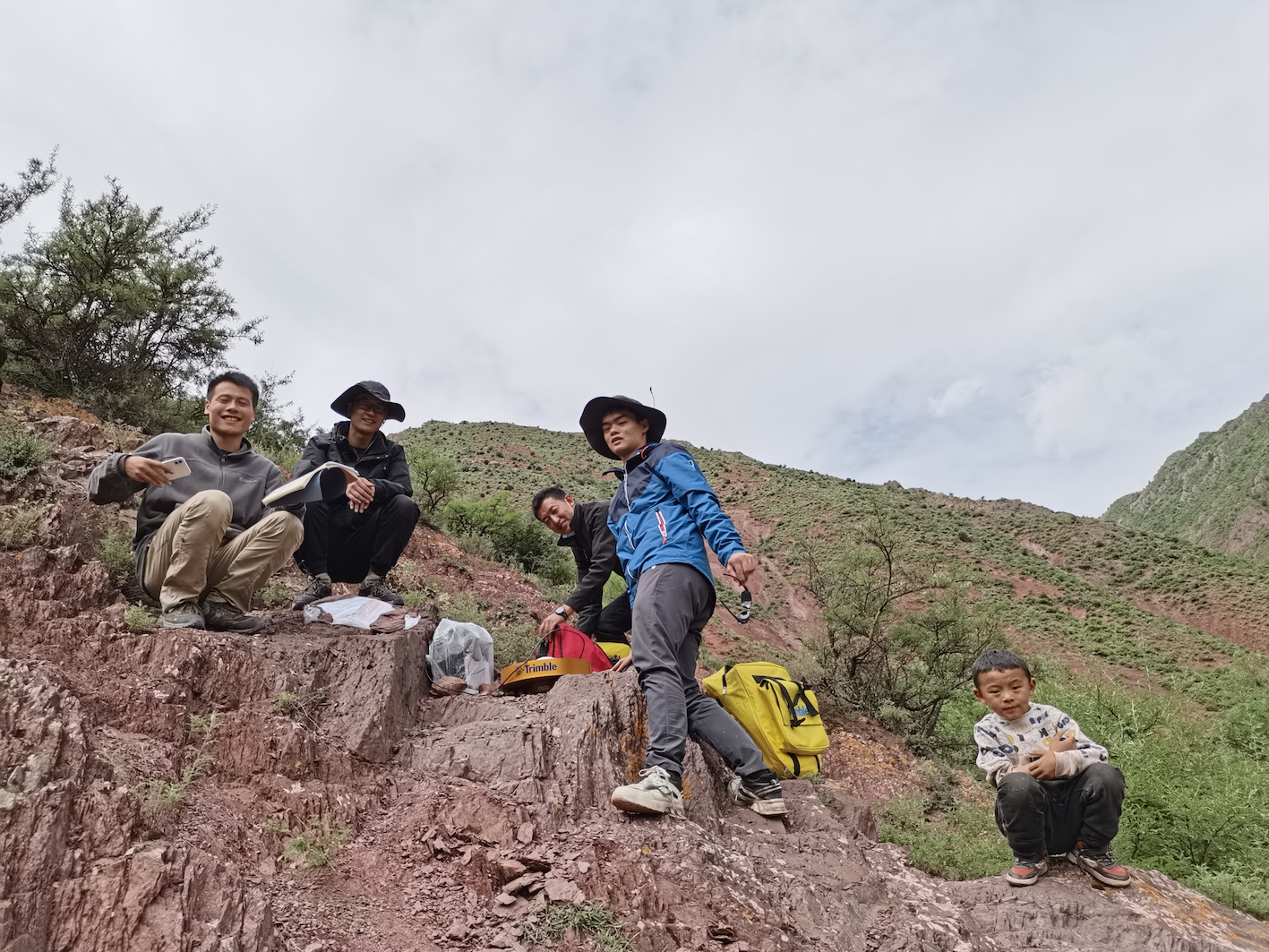
Of course, the main focus of this trip is to take GPS measurements.
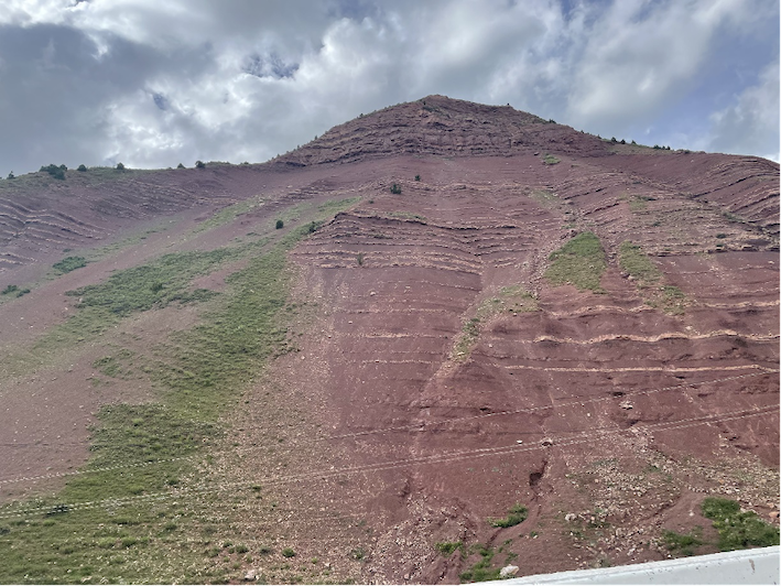
We also found many unique rock formations and landforms. Dr. Hu explained their formation and classification to us. We are surprised by the magic of the Nature.
Driving along some dangerous portions of the highway 318 will certainly be life-long memory.
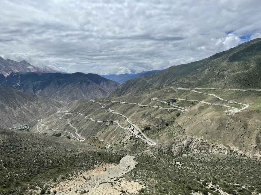
The above photo was taken on Aug. 18th.
The field trip was over. We absolutely wish to do the survey again SOON.
Copyright © Geodynamics Research Center,USTC/DSEL. All Rights Reserved.