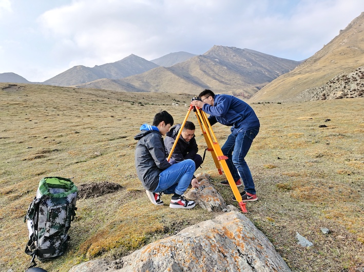
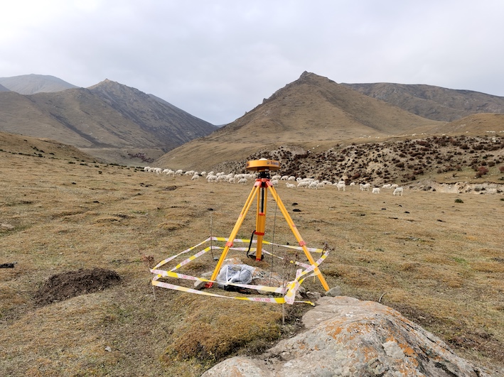
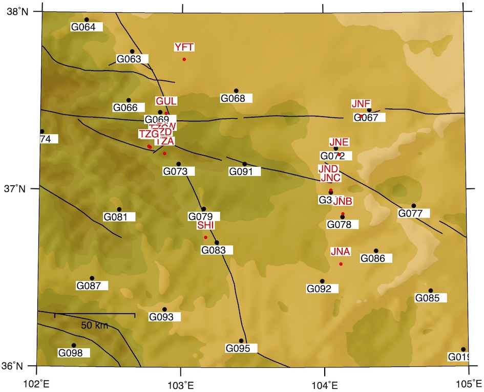
From Oct. 8 - 13rd, we checked two survey lines including 15 GPS stations that were surveyed in 1990s. We have successfully recovered and resurveyed five stations. We added one station near JNA. Other stations were all destroyed by social and business activities. This survey was funded by the National Key R&D Program (2018YFC504103).
The most difficult site (or the better way to describe it is the most beautiful site) is SHI. The relative height is about 200 m (the altitude is ~2300 m).
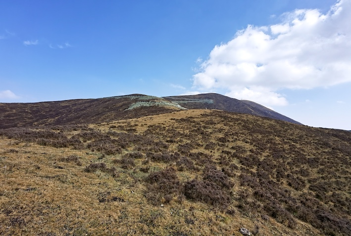
The view from the top of the mountain is absolutely awesome:
The site TZA has the highest altitude ~3200 m. However, it turned out to be the second easiest site since the road goes all the way to the top of the mountain.
At the site TZG, we found out that it is not easy to climb a terrace of even about 20 meters in a high-altitude plateau. The altitude there is about 3100 m. We have to rest awhile after taking the 20-m BIG climbing! We also started to wonder if we are able to take the big mountain nearby, the relative height of which must be more than 500 m.
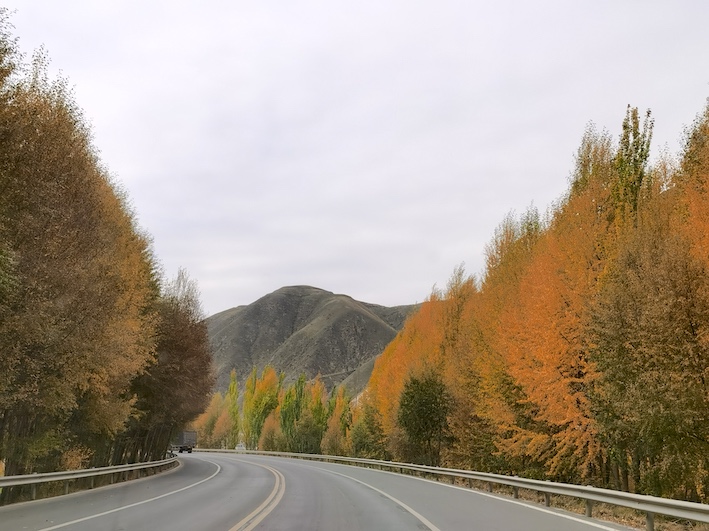
Driving on the road is much enjoyable.
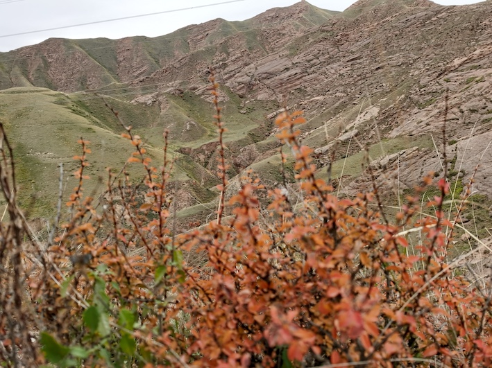
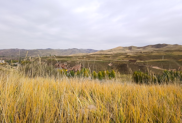
The view at DIW is also gorgeous.
Did we talk about too much "beautiful scenes"? We certainly worked very hard.

Nevertheless, we completed the survey lines within about a week.
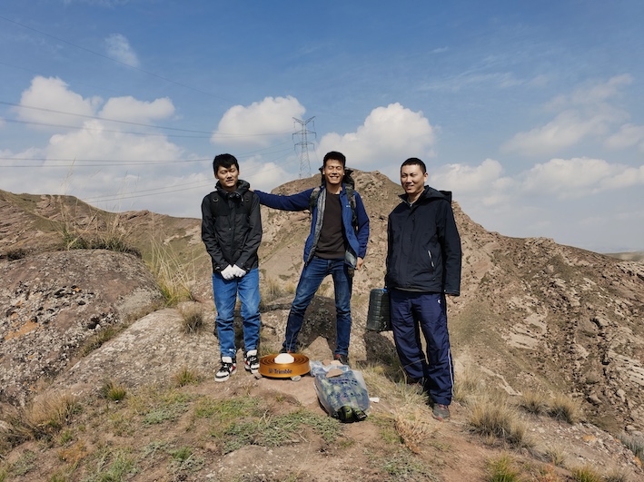
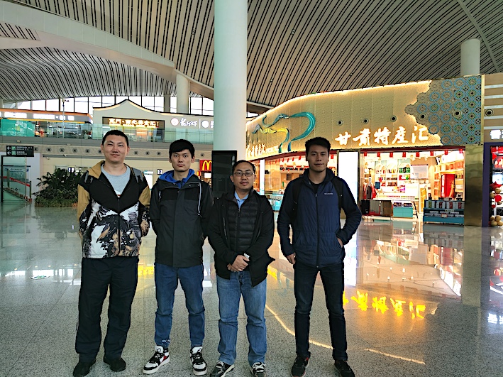
Here's the team, and we wish to do the survey again SOON.
Copyright © Geodynamics Research Center,USTC/DSEL. All Rights Reserved.